
For the nights you’ll never forget
Northern lights.
Worth looking up for.
Check northern lights activity here. Find your local outlook and keep your favorite skies close with the Aurora Signal app.
Coming soon for iPhone and Android
Activity model · not a sighting guarantee
The same NOAA aurora model used in the Aurora Signal app. Readings refresh every five minutes.
Take the next step with Aurora Signal
Go from watching the map
to planning your night.
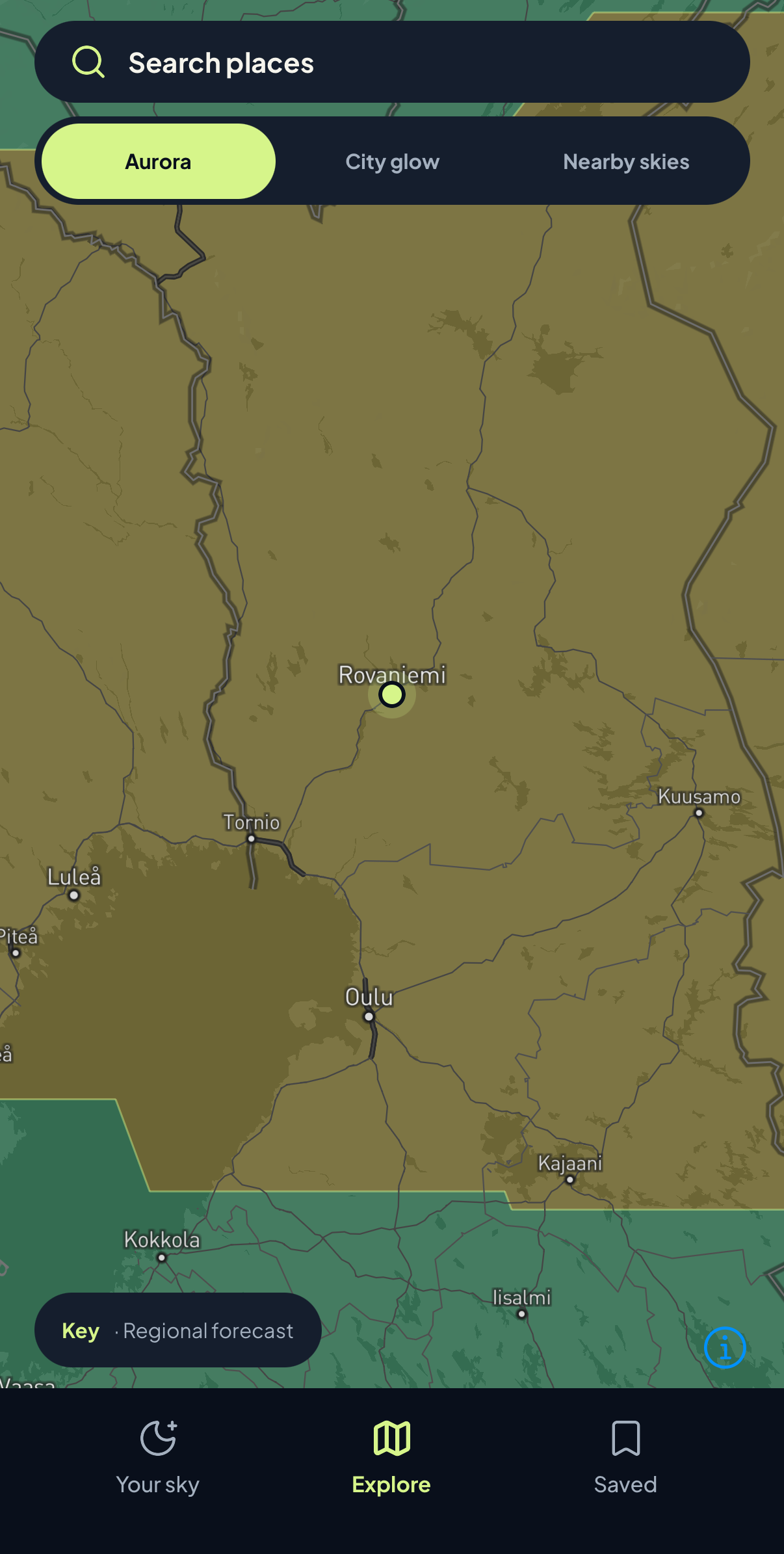
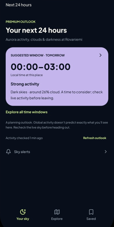
The map shows aurora activity. The app brings your local outlook and favorite places together, so you can decide when to look up.
- Find a time worth considering.Explore activity, clouds, and darkness together in your Premium outlook.
- Keep your skies close.Save the places you care about for your next visit.
- Look beyond one location.Explore the aurora map and surrounding skies from your phone.
The app is getting ready for launch. Some planning features require Premium. Aurora sightings are never guaranteed.
Follow your curiosity north
One sky. So many places.
From a whole country to your next destination. Find the northern sky you came for.
Nordic countries
Finland
66.5° N · 26.0° EFinland
Lapland
68.1° N · 26.3° EFinnish Lapland
Rovaniemi
66.5° N · 25.7° ENordic countries
Norway
67.0° N · 16.0° ENorthern Norway
Tromsø
69.6° N · 19.0° ENorthern Norway
Alta
70.0° N · 23.3° ENordic countries
Sweden
66.0° N · 18.0° ESwedish Lapland
Abisko
68.3° N · 18.8° ESwedish Lapland
Kiruna
67.9° N · 20.2° ENorth Atlantic
Iceland
65.0° N · 19.0° WIceland
Reykjavík
64.1° N · 21.9° WNorth America
Canada
63.0° N · 108.0° WNorthwest Territories, Canada
Yellowknife
62.5° N · 114.4° WUnited States
Alaska
65.0° N · 151.0° WAlaska, United States
Fairbanks
64.8° N · 147.7° WA little sky knowledge
A big sky.
A little understanding.
You do not need to be a space-weather expert to be curious. Start with the activity map, understand what it tells you, and keep an eye on the changing sky.
Model and forecast explanation: NOAA Space Weather Prediction Center.
What are the northern lights?
The northern lights, or aurora borealis, are light emitted by gases high in Earth’s atmosphere when energized particles interact with them. Earth’s magnetic field guides those particles toward the polar regions, creating an oval of activity.
Does a bright area on the map mean I will see them?
No. The map describes modeled aurora activity, not what your eyes can see from the ground. A display also needs a dark enough sky and an unobstructed view. The activity layer is a starting point, not a sighting guarantee.
How far ahead does this aurora forecast look?
NOAA’s OVATION model gives a short-term outlook, typically around 30–90 minutes depending on solar wind conditions. The observation and forecast times are shown with the map. It is not an all-night forecast.
Where does the activity data come from?
Aurora Signal uses NOAA’s Space Weather Prediction Center OVATION model through the same data service as the mobile app. The map checks for updates every five minutes and hides observations more than 20 minutes old.